Construction Mapping & Progress Monitoring for Hotel Development Projects
Objective
To create precise and up-to-date 3D maps of construction sites using drones and photogrammetry. This enables better planning, progress tracking, and communication between project stakeholders while reducing surveying time and costs.
Process
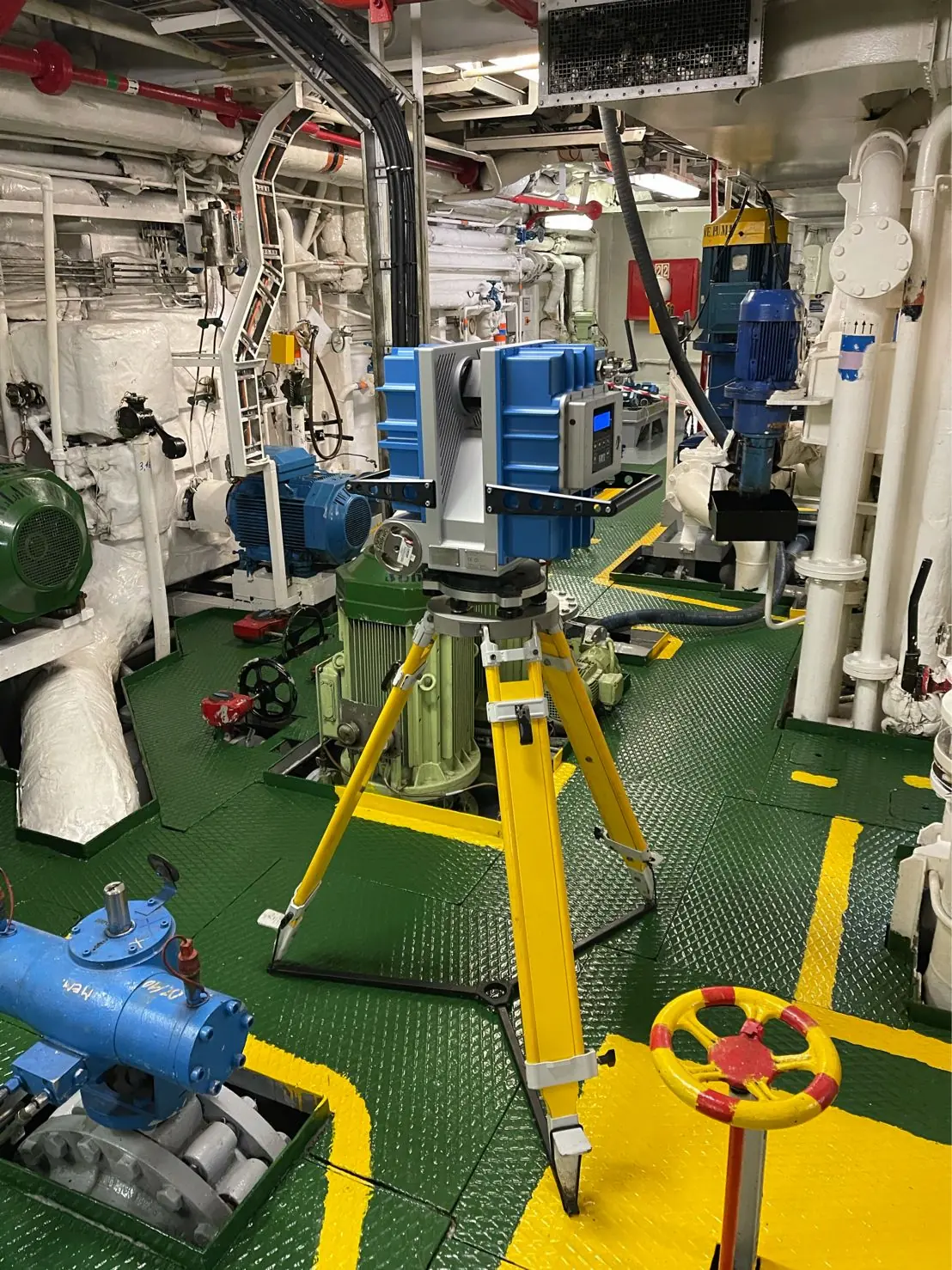
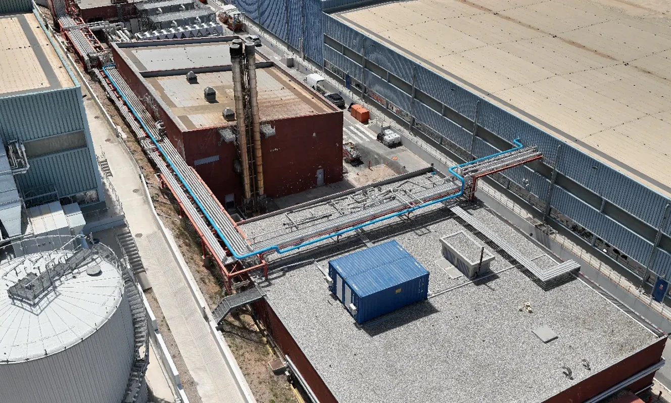
Aerial Data Capture
- Drone flights over the construction site to capture high-resolution imagery.
- Multiple angles and flight paths ensure complete coverage of terrain, buildings, and machinery.
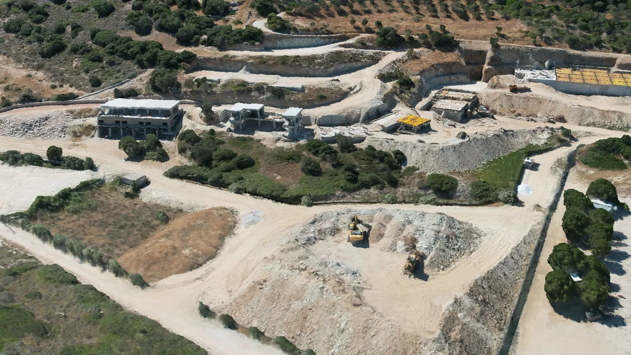
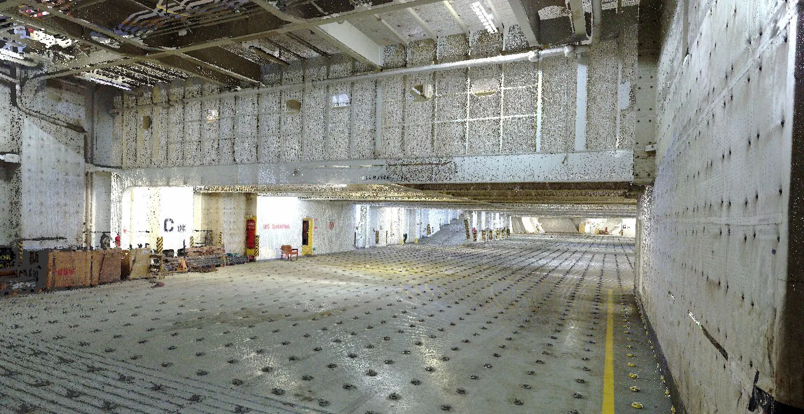
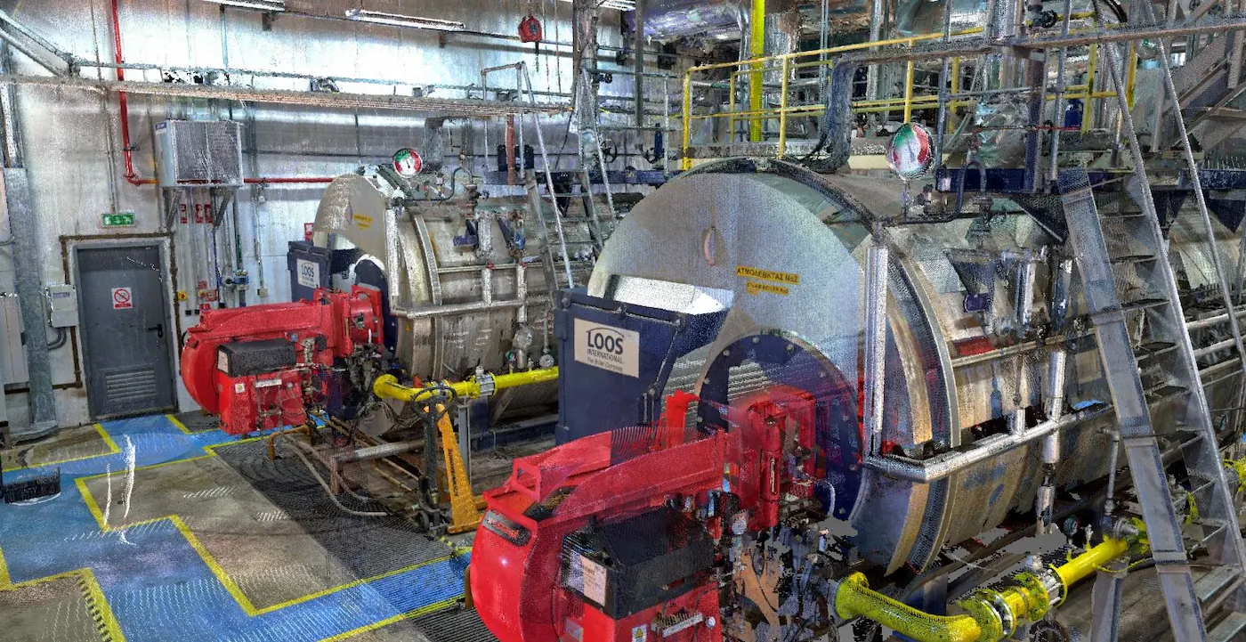
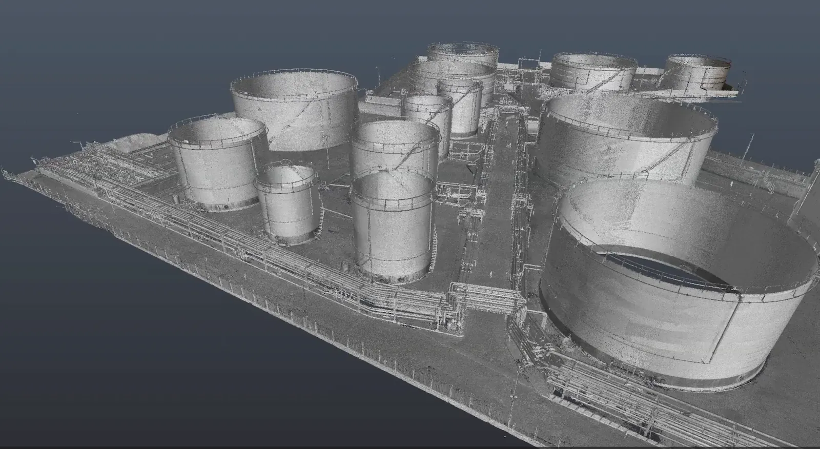
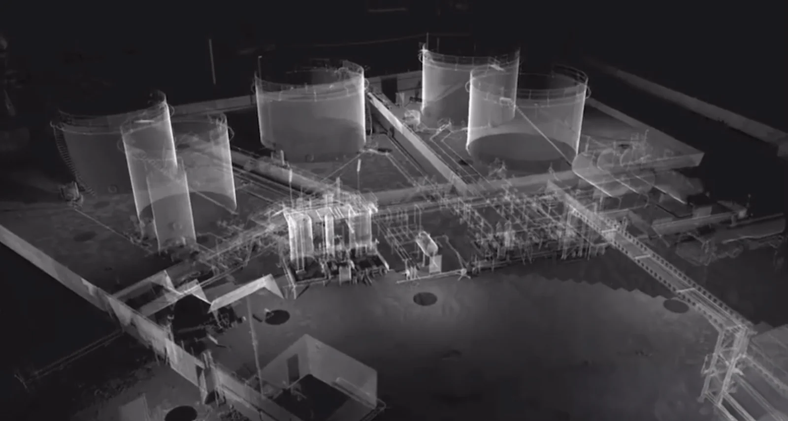
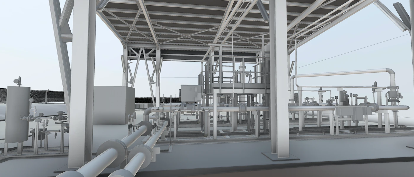
3D Model & Mapping
- Processing captured images into a georeferenced 3D model and orthomosaic maps.
- Generation of digital elevation models (DEM/DTM) for earthworks and site leveling.
Analysis & Measurements
- Volume calculations (e.g., stockpiles, excavation progress).
- Cut & fill analysis for earthmoving operations.
- Progress monitoring by comparing models from different survey dates.
Integration & Sharing
- Models exported for use in BIM platforms, CAD software, or GIS systems.
- Interactive 3D visualizations shared with project managers, engineers, and investors.
Applications & Benefits
Site Planning – Accurate terrain and layout mapping for construction scheduling.
Progress Tracking – Monitor project development against timelines.
Cost Savings – Faster surveying compared to traditional ground methods.
Safety – Minimizes the need for on-site manual surveying in hazardous areas.
Stakeholder Communication – Visual 3D updates improve transparency with clients and investors.
Dispute Resolution – Provides time-stamped site records for claims and documentation.
Deliverables
- High-resolution orthomosaic maps of the construction site.
- 3D terrain & structural models for site planning and analysis.
- Volume & progress reports (stockpiles, earthworks, excavation).
- Time-lapse monitoring models for project management.
- Export-ready data for BIM/CAD/GIS workflows.
This project type is ideal for
- Infrastructure projects (roads, bridges, tunnels).
- Commercial & residential construction.
- Mining & quarry site monitoring.
- Large-scale earthmoving projects.
Related Case studies