
3D Laser Scanning Services, Scan-to-BIM, Digital Twin, AR/VR and Survey

3D Laser Scanning for Buildings, Facilities, Ships and Infrastructure
SCANPRO specialises in 3D laser scanning for buildings, industrial facilities, ships and infrastructure. We capture existing conditions with millimetre-level accuracy and deliver point clouds, orthophotos and as-built outputs that become a shared baseline for engineers, architects, contractors and asset owners, ready for the next step towards BIM and Digital Twin.
SCANPRO 3D laser scanning services
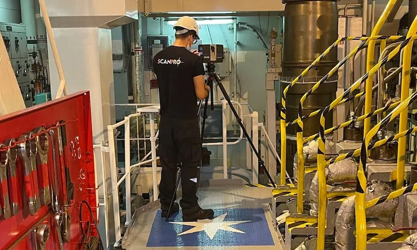
Every project starts by defining the capture approach based on site conditions, required accuracy and the deliverables you need. Where required, we support the survey with geodetic control and georeferencing, so the dataset is documented, traceable and verifiable.
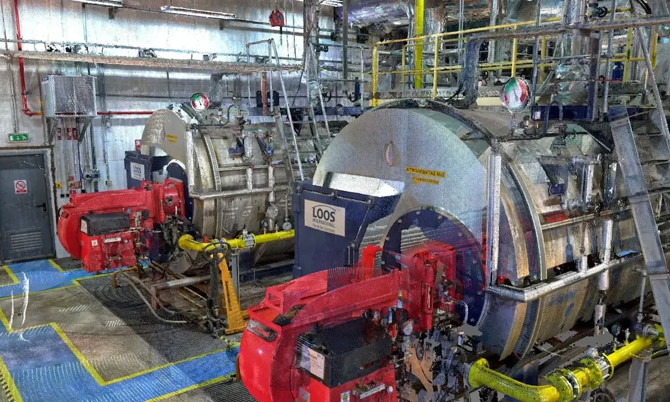
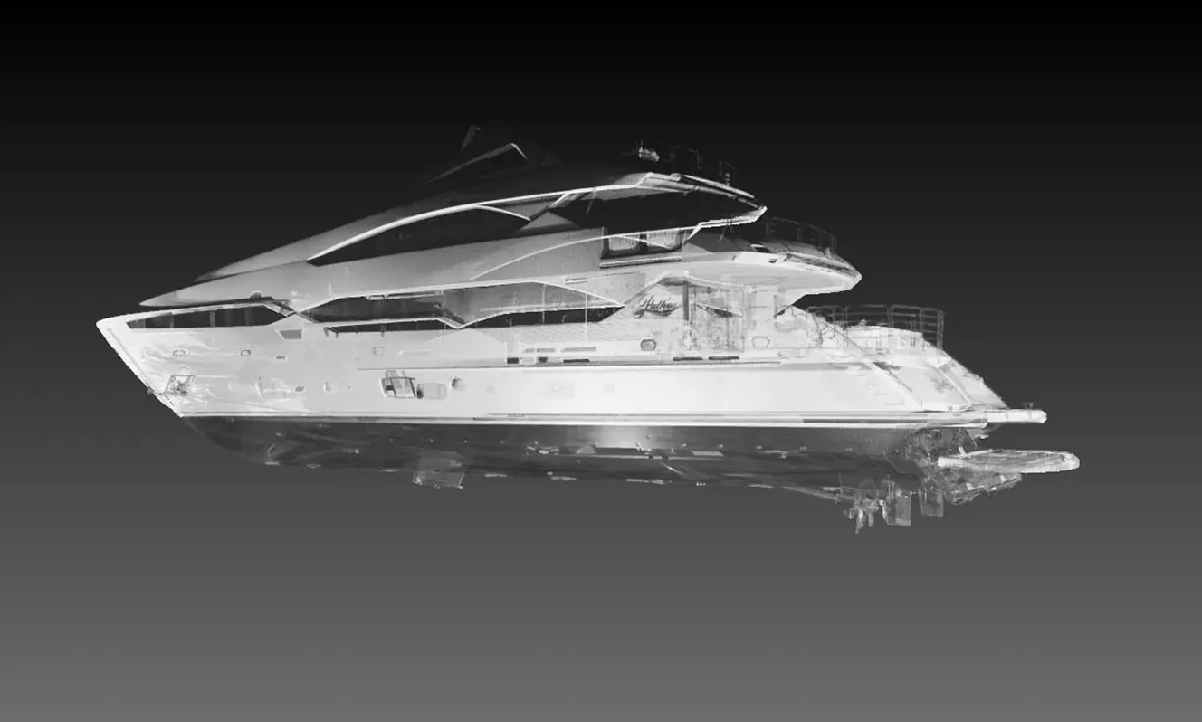
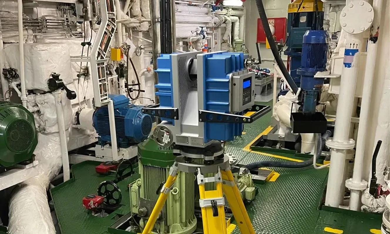
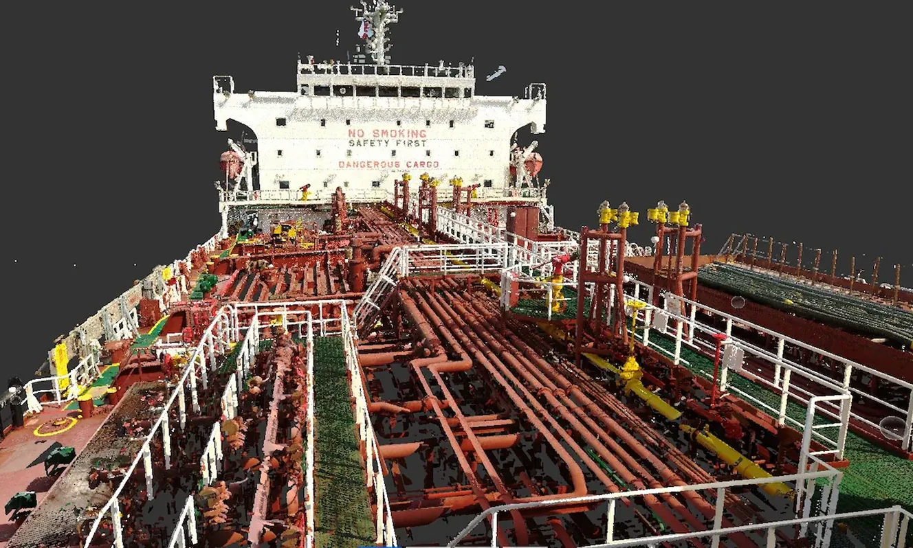
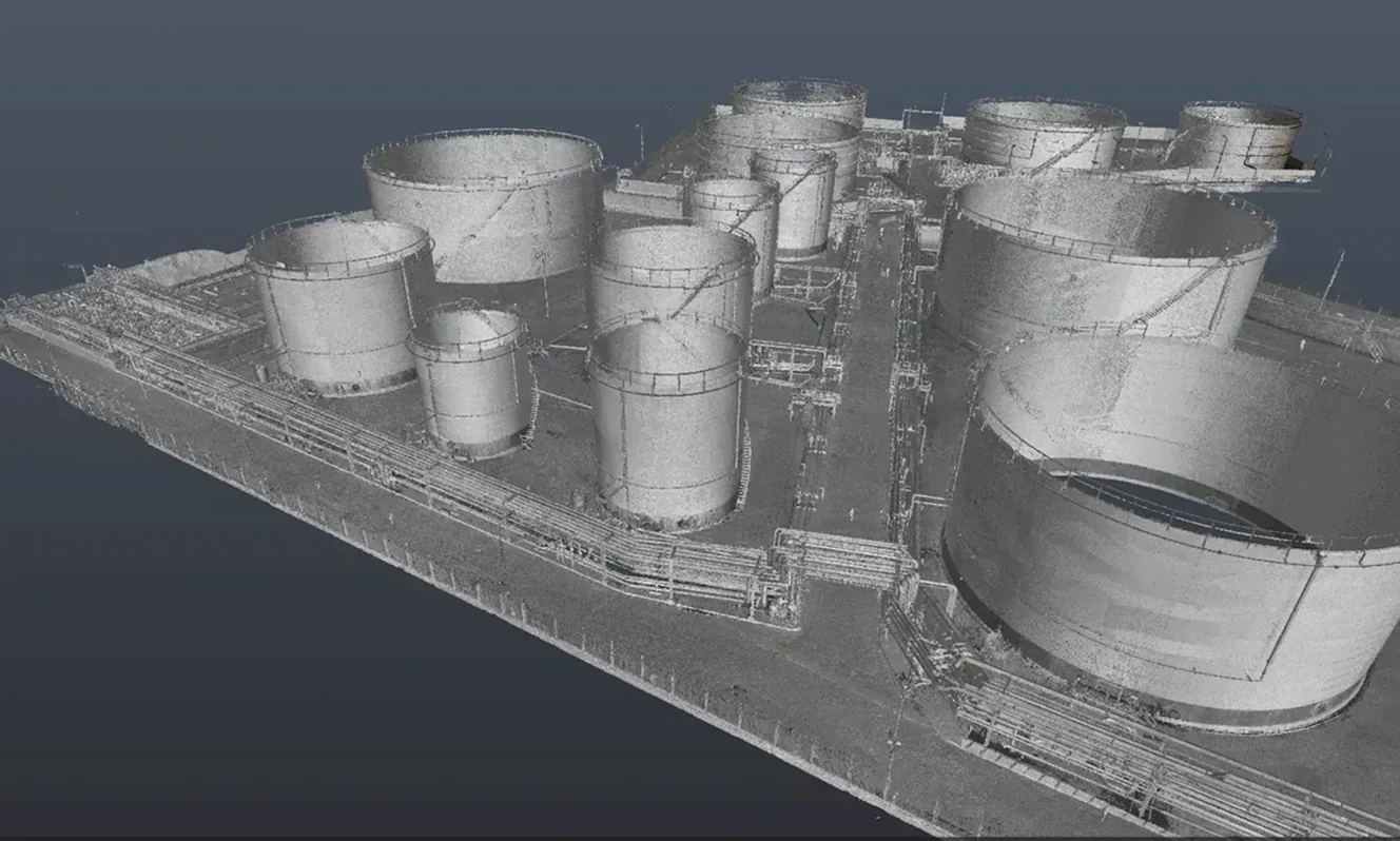
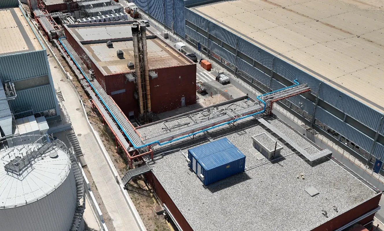
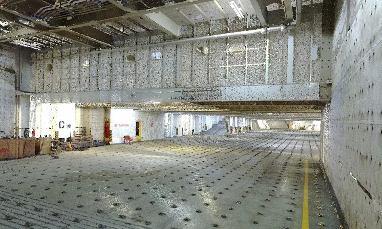
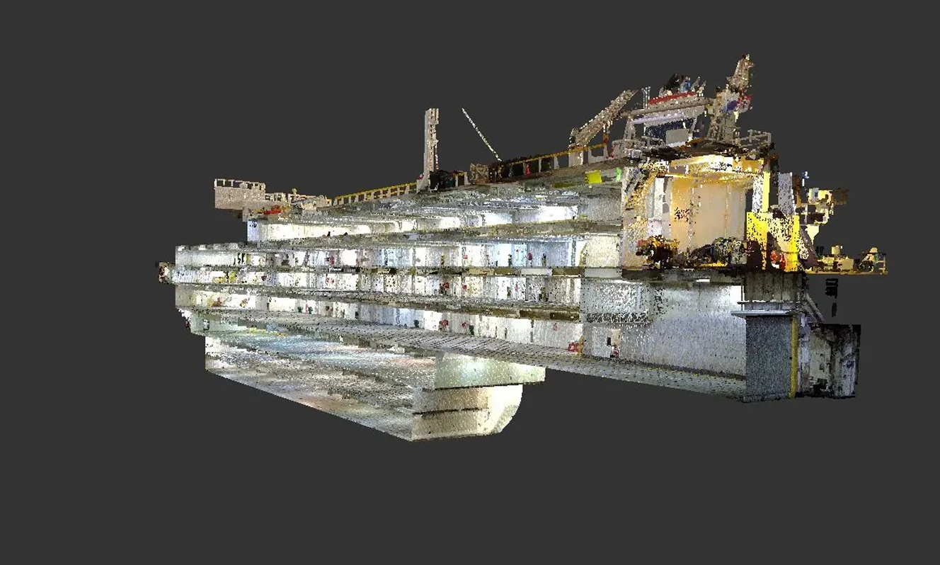
We scan both indoor and outdoor environments, including construction sites, industrial plants, warehouses, vessels and civil works. The goal is a reliable record of geometry, surfaces and key features, organised around the actual needs of the project.
Scan data is processed into unified, quality-checked point clouds. These form the basis for orthophotos, 2D as-built drawings and 3D models. Deliverables are provided in CAD and BIM compatible formats, and can include accuracy documentation when required.
If requested, the same dataset can be used for Scan-to-BIM, clash checks and constructability reviews, supporting construction and pre-fabrication workflows on one consistent reference baseline.
Ideal for:
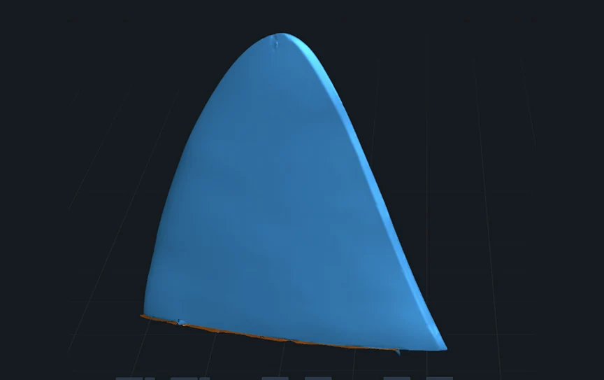
• Small objects and components
• Fine detail capture
• Local tolerance and deformation checks
• Micro-level reverse engineering
• Geometry verification before and after minor interventions
Ideal for:
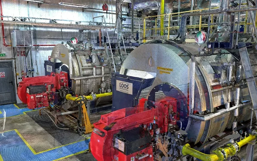
• Rooms and mid-scale areas
• Installed systems and equipment
• Studies, upgrades and refurbishments
• Multi-team coordination on one shared dataset
• CAD and BIM models built from real geometry
Ideal for:
• Extensive facilities and multi-level environments
• Complex structures with many scan stations
• Large upgrade, conversion or retrofit programmes
• Large datasets and robust registration workflows
• BIM, GIS and large-scale Digital Twin applications
From fine detail to full-scale facilities, we apply the right technical approach for the scale, the environment and the outcome you need.