3D Infrastructure Scanning, BIM/GIS and Digital Twin for Smart Cities
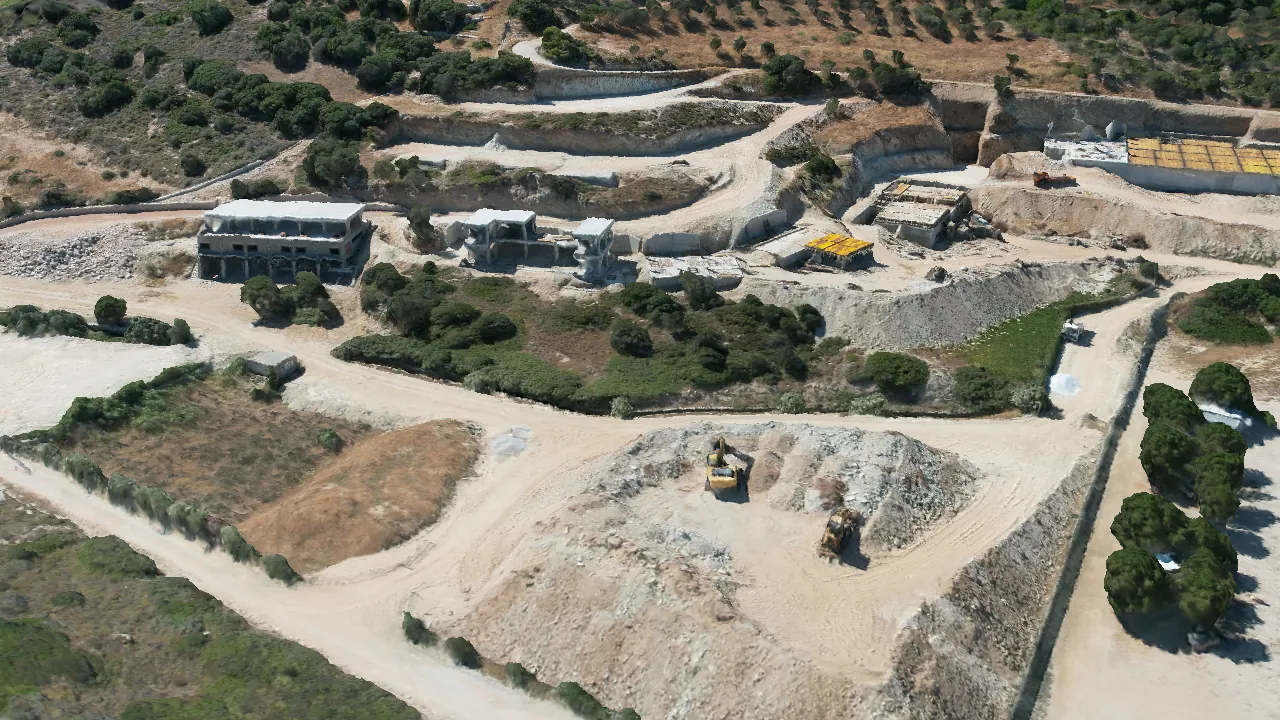
A smart city starts with one trusted view of the urban environment. With 3D infrastructure scanning, we capture buildings, roads, public spaces and critical networks, then organise everything into a shared 3D/GIS and BIM baseline. That way, city services and project teams work from the same ground truth, not fragmented information spread across different systems.
On that baseline, you can plan interventions for traffic and mobility, accessibility, energy upgrades, water networks, cleanliness and maintenance with decisions tied to real conditions on the ground. Changes can be tested digitally before anything happens on site, priorities become clearer and on-the-ground work becomes more targeted.
When there is an operational need, the same data can be structured into monitoring environments and a city Digital Twin, supporting better coordination between departments, stronger technical documentation and more transparent communication with agencies and citizens.
3D Infrastructure Scanning, BIM/GIS and Digital Twin for Smart Cities
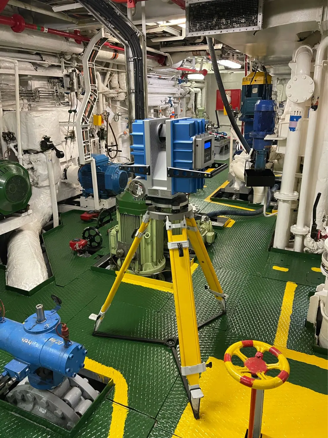
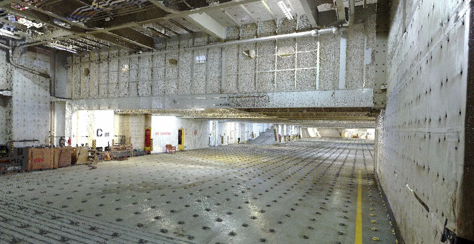
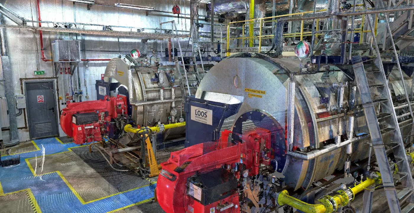
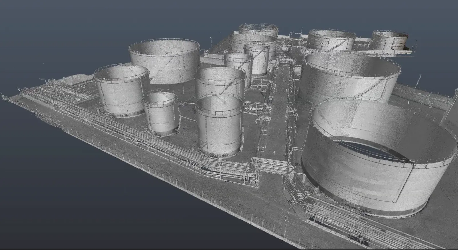
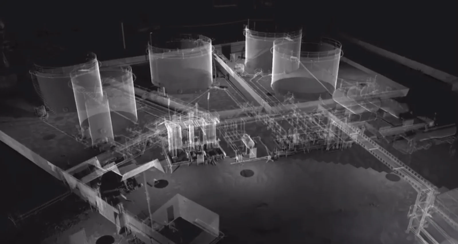
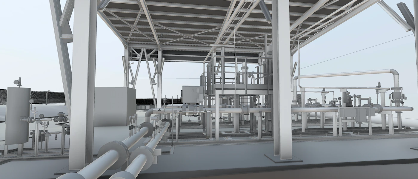
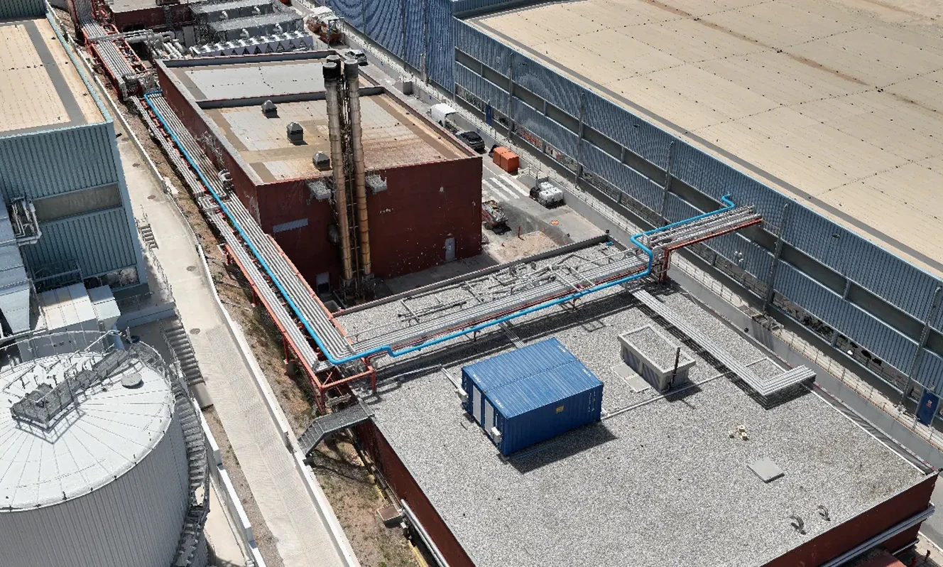
In smart city projects, reliable decisions depend on a common digital baseline. We scan key assets such as junctions, buildings, stations, bridges and core networks, then structure the capture in a unified 3D and BIM/GIS environment. This supports studies for energy retrofits, urban mobility, accessibility and flood protection, with a clear picture of existing conditions and a shared language between city services, consultants and contractors.
The same data can also support day-to-day city management. Where it makes sense, we organise it into a city Digital Twin that can connect to sensors, SCADA, IoT and usage data. This enables scenarios and operational views for energy, traffic, occupancy, maintenance, water networks and waste collection, so interventions stay grounded in one shared model.
Services for Smart Cities:
- 3D scanning of buildings, junctions, stations, bridges and key urban infrastructure
- BIM/GIS baselines for networks, building stock and public spaces
- City Digital Twin for energy, traffic, occupancy, emergency scenarios and maintenance
- Water network and waste collection optimisation within a shared 3D/GIS model
- AR tools for field validation, on-site checks and project documentation
- Consulting on data governance, KPIs, interoperability and ROI for smart city projects
- 3D holographic models for smart city presentations, exhibitions and visitor centres

Smart City Case studies